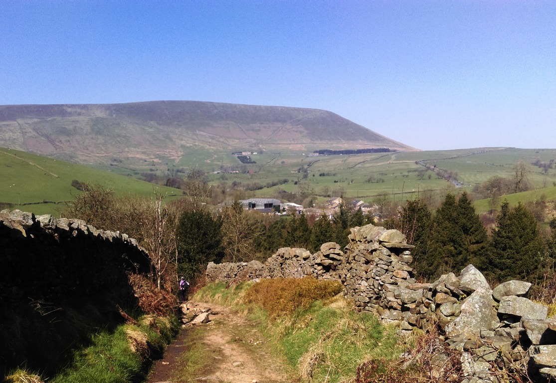
Pendle from Hays Lane
Today’s field walk explored the valley that connects Barley and the Ogden Valley with Thorney Holme, Roughlee, and the main Hidden Valley. Starting at Barley we walked up Hay’s Lane and followed that to Thorney Holme. Running down the south side of the valley, this rather rough public highway affords famous views of Pendle (above) at one end and out to the border with Yorkshire (below) at the eastern end.
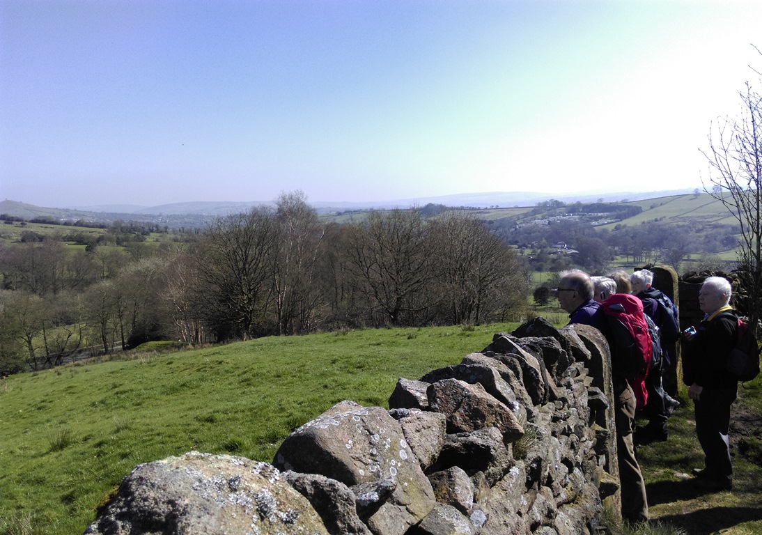
View East from Hays Lane
Walking along it we were able to look across to the other side of the valley and spot what appeared to be the remnants of an older system of fields. Dropping down into Thorney Holme we peeked over a wall to look at the former gunpowder store (below) that once supplied some of the local quarries. After crossing White Hough Water we picnic-ed in full sun near what may well have been the original site of Roughlee Hall.
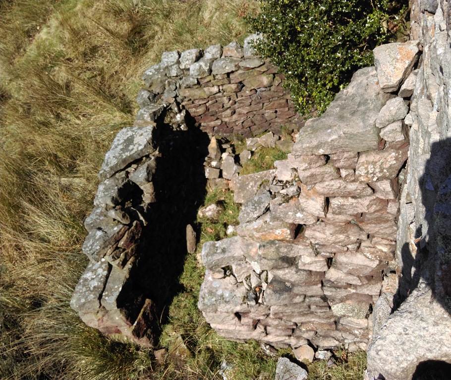
Gunpowder Store, Thorney Holme
After lunch we commenced our return leg, ascending the north side of the valley before dropping down briefly to the valley floor through White Hough. On the western side of the small cluster of buildings, some a good number of centuries old, we climbed up through Bollard Wood to have a look at some of the features we had seen from Hays Lane. We found a number of artificial platforms but were unable to determine their original purposes. We also found evidence of an old road or track that predates the first OS maps of the area. It may relate to the platforms, but the again, it might not. This track runs through the features we had seen from Hays Lane. These were indeed the remnants of an older more haphazard field system. This is likely to be Medieval or earlier in date and the fields were probably stocked more than cropped.
From this field system we dropped back down to Barley to complete our circuit of the valley, some of us realising that a hat might have been a good idea after all. Before we did so we took a moment to take in the view over Barley toward the high ground hiding Newchurch to the south west (below) and Spence Moor & Ogden Clough to the west. During our walk a few pieces of worked chert were found – the oldest dating to between c.7000 and c.3500 BC. We had walked a long way back in time.
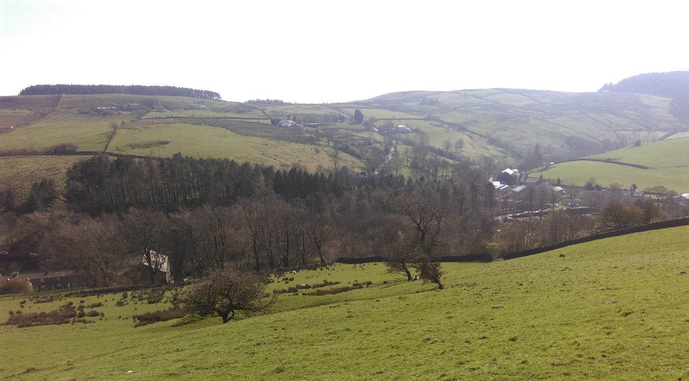
View over Barley from above Slank Laith (aka Stang Laith)