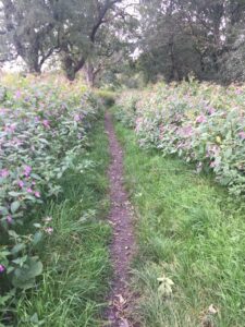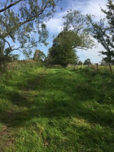
Footpath following RR near Standen Hey Farm
On one sunny day in Autumn we walked from the A671 down a very straight metalled road to the Standen Hey Farm trying to track the Roman Road (RR), for a good while we must have been walking on top of it. After the farms an almost straight grassy track led past the golf course towards the railway line where we stopped and returned.

In the hunt for the RR rom Standen Hey to the railway line.
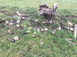
At several points along the track it was easy to feel stony resistance when using a metal prod. On returning to the main road it was easy to see where the RR continues to the left through a small triangle of land. Having crossed the main road we could see no discernible features in the fields there. There is a fantastic aerial view of this section see http://www.romanroads.org/gazetteer/M72a.htm.
Another cloudy and colder day saw us around the Stopper Lane /Tewit Hill areas. We revisited what we thought was a very definite aggar to the east of Stopper lane only to be disppointed when there was no stony resistance in the land when prodded. Since then someone has remarked that not all RR are covered with stone, an earth bank may have been sufficient in places. In the area around Tewit Hill there seemed to be a stony bank leading on from a holloway near a farm building. However this could be of later origin perhaps mediaeval or later.
Although the lidar appears to show the track of the RR between Twiston beck and the A682 (Gisburn Rd) just after apparently one of the best examples of a RR at Downham, there appear to be quite a few areas where the road seems to have disappeared. In the Howgill Farm area very little could be identified. We look forward to establishing the route when we get together with Pendle Hill Landscape Partnership to identify and survey these sections hopefully in 2021 when social distancing measures are more relaxed.

Banking near site of RR Tewit Hill.
Banner Image: Banking or near site of RR near Tewit Hill